GRASS GIS as Geocomputational Engine
FOSS4G NA 2024, St. Louis Missouri
2024-09-10
This talk was funded by the US National Science Foundation (NSF), award 2303651.
Corey White
- Center of Geospatial Analytics at NC State University - Applied Research Scientist
- OpenPlains Inc - Founder & CEO
- GRASS GIS - Contributor & Active Community Member

What is GRASS?

- GRASS is geospatial computational engine
- GRASS is a modeling platform
- GRASS is a development framework
- GRASS is not your Papi’s Desktop GIS
GRASS as a Geoprocessing Engine
- Fast, trusted, science based tools
- +400 core tools
- +400 contributor addons
- Modern Tooling
- Jupyter Notebooks
- R Studio
- Python and C API
- GUI
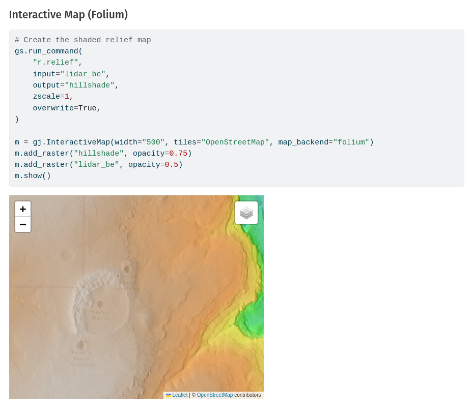
What is GRASS used For?
- Advanced geospatial modeling and analysis
- Data Science
- Data Engineering
Who is using GRASS
Civil and Environmental
- Researchers
- Modelers
- Data Engineers
- Climate Scientists
- Startups

Features
- Hydrologly
- Map Calculations
- Geomorphology
- Remote Sensing
- Machine Learning
- Lidar
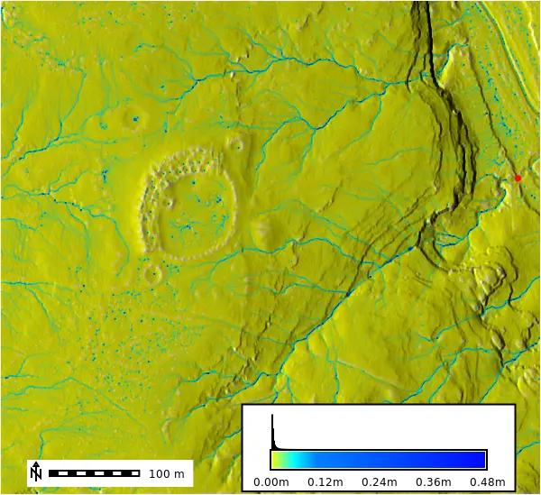
GRASS in the Wild
Case Studies
Desktop
- Civil Engineering Firm
- Lidar/Raster Processing
- Power desktops to simplify processing
Cloud
- Environmental Engineering Firm
- Remote Sensing
- Machine Learning
HPC
- Academia
- National Scale Data Processing
- Urban Growth Forcasting
Desktop-based Geoprocessing
So fast you usally don’t need scale
- Handles large raster base calculations with ease

Desktop Case Study
Bohannan Huston
Civil Engineeering firm based out of New Mexico
Modeling & Anaylsis
- 1m QL1 Lidar Data
- Vegitation Analysis
- Flow Lines Deliniation
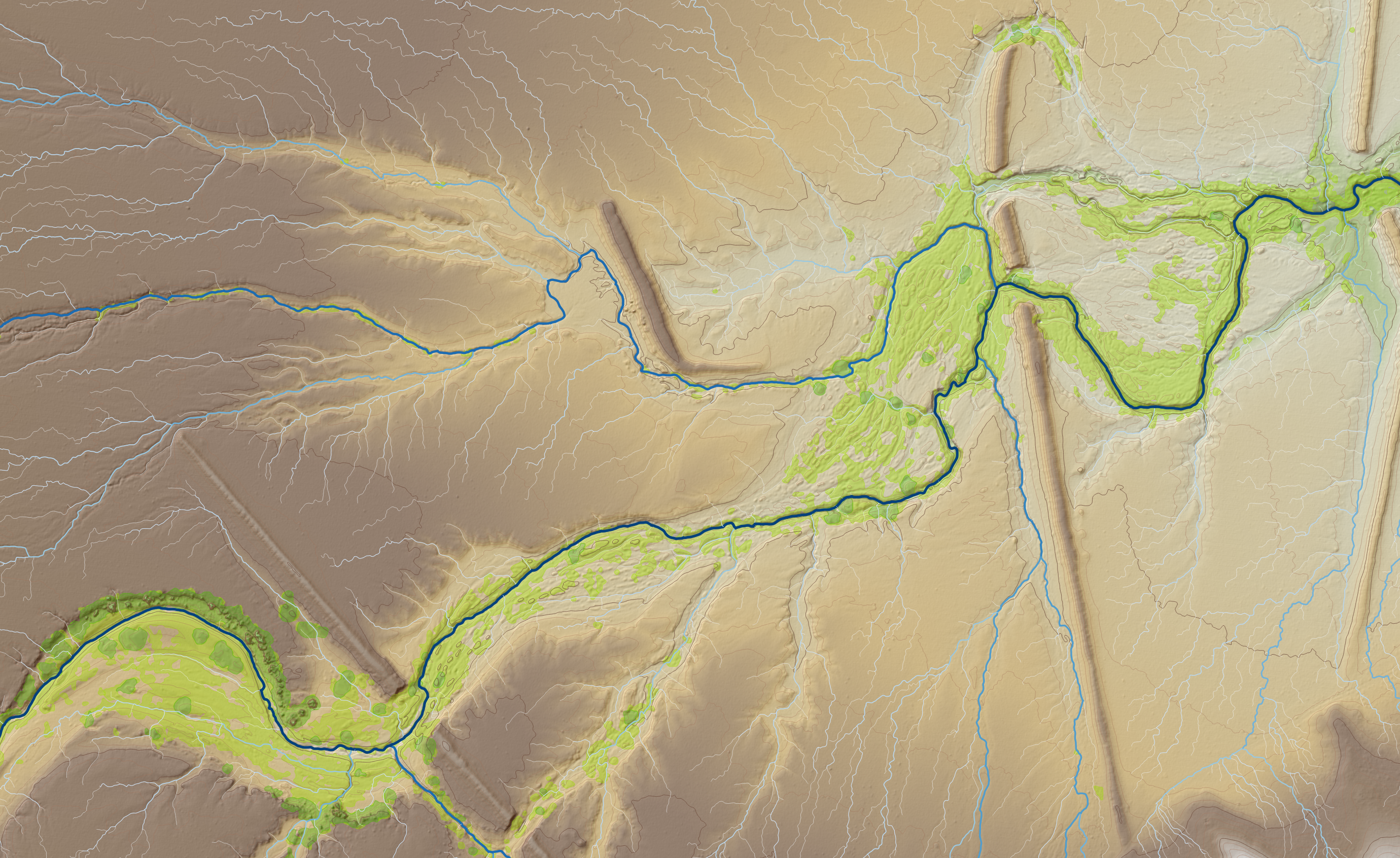
Desktop Case Study
Bohannan Huston: Tech Specs
Data: North Carolina Phase 4 Geiger - images: 22,519
| Process | Hardware | Time (sec) | Time (min) |
|---|---|---|---|
| SVF Generation | Mac M2 Max | 790.8 | 13.2 |
| Mac M1 Max | 889.2 | 14.8 | |
| Image Tiling | Mac M2 Max | 407.8 | 6.8 |
| Mac M1 Max | 519.1 | 8.7 | |
| Building Prediction | Mac M2 Max | 7537.5 | 125.6 |
| Mac M1 Max | 9641.4 | 160.7 |
Cloud-based Geoprocessing
Tools
- actinia - GRASS REST API
- Apache AirFlow - ETL
- OpenPlains - Interative Geospatial Modeling
Cloud Case Study
Mudialis: Free Data With Free Software
- GRASS GIS
- GRASS GIS Addons
- actinia
Cloud Case Study
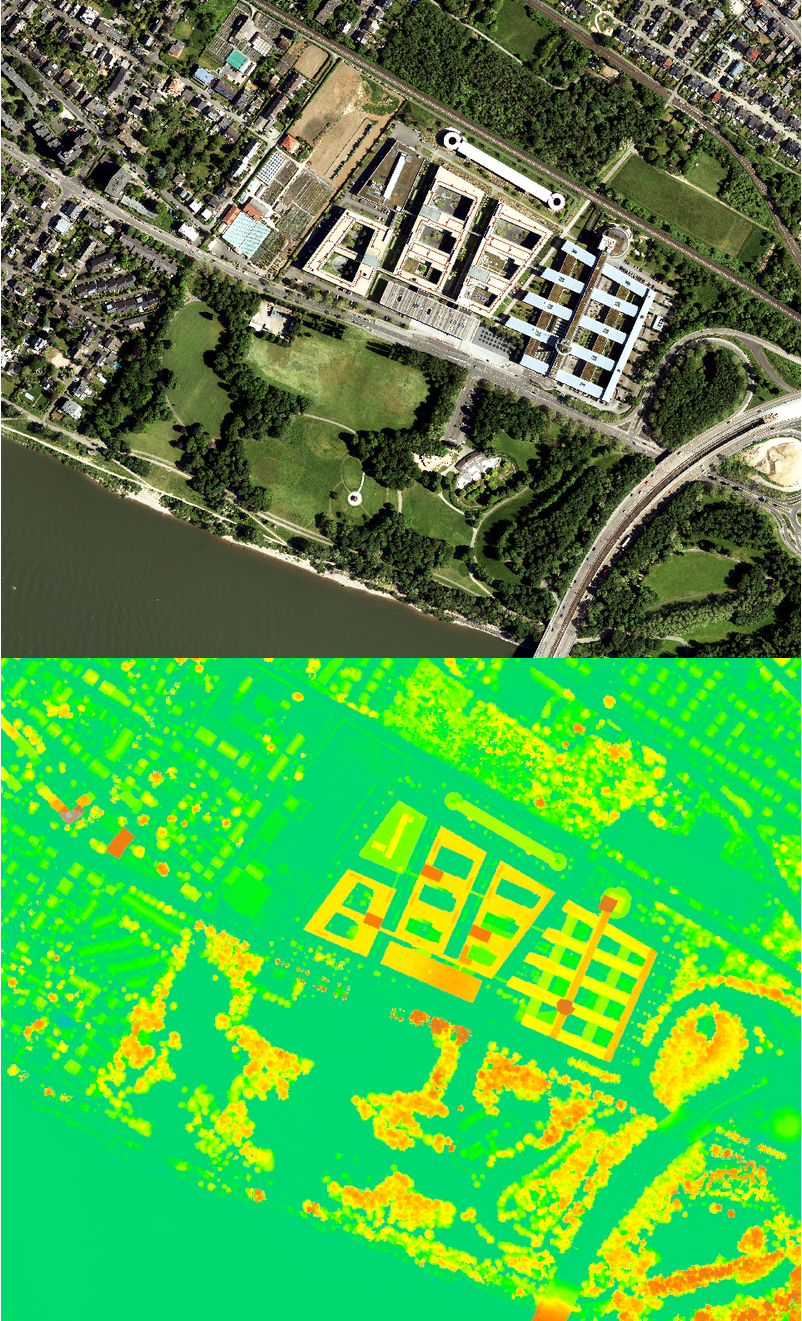
Mudialis: Detecting buildings, green roofs and trees
- Official cadastral plans are lagging behind reality.
- Detection based on point clouds and 7.5 cm aerial imagery (RGB-NIR)
New GRASS GIS addons
- m.analyse.buildings
- r.extract.greenroofs
- m.analyse.trees
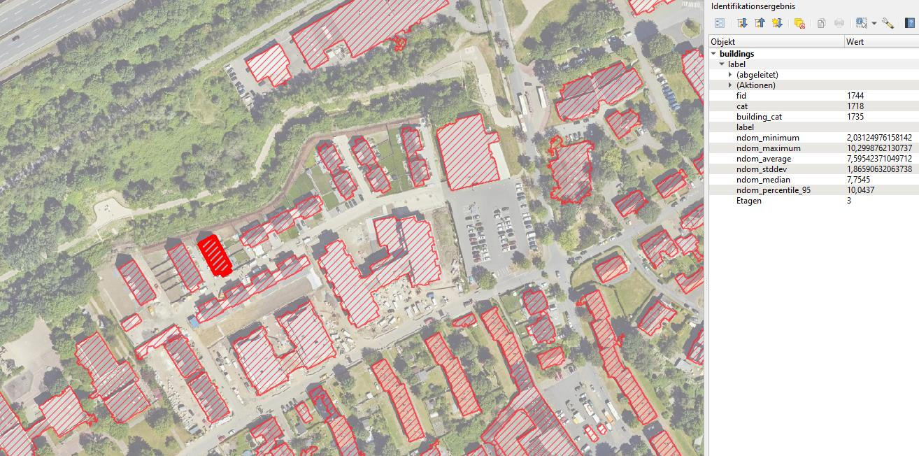
Cloud Case Study
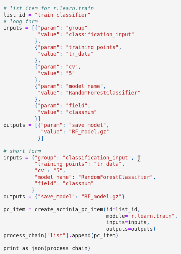
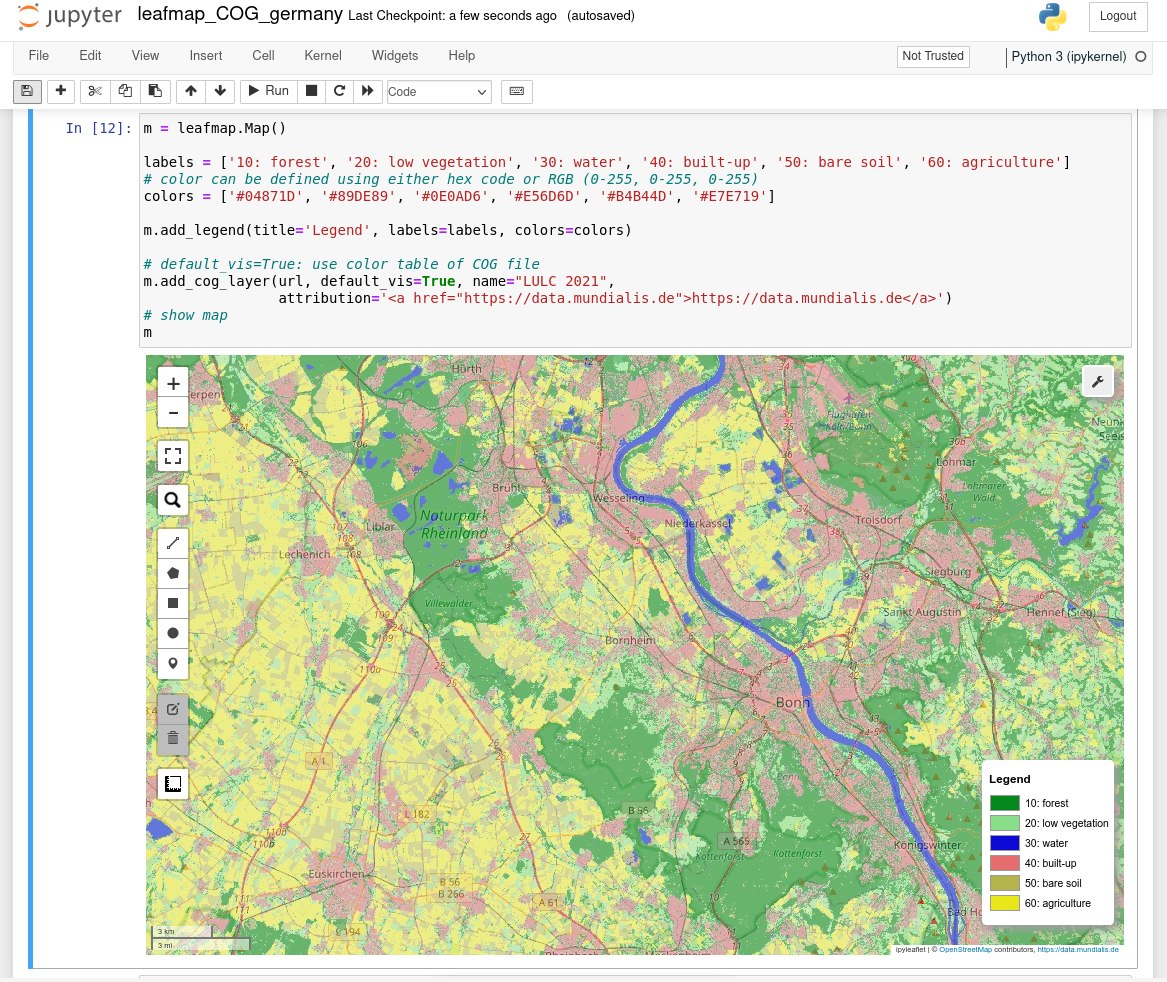
Mudialis: Image classification workshop with actinia
HPC-Based Geoprocessing
HPC - High Performance Computing

HPC Case-Study
NCSU Henry2 cluster
- Nodes: 933
- Cores: 13844
- Python, R, GRASS GIS
HPC Case-Study
NCSU: CONUS Urban Growth Model
HPC Case-Study
NCSU: CONUS Urban Growth Model
Example: Scaling urban growth model
- r.futures addon: FUTURES urban growth model
- 30-m resolution (16 billion cells) on HPC
- 50 stochastic runs annually from 2020 to 2100
Summary

- GRASS is geospatial computational engine
- GRASS is a modeling platform
- GRASS is a development framework
- GRASS is not your Papi’s Desktop GIS