emojis 😃
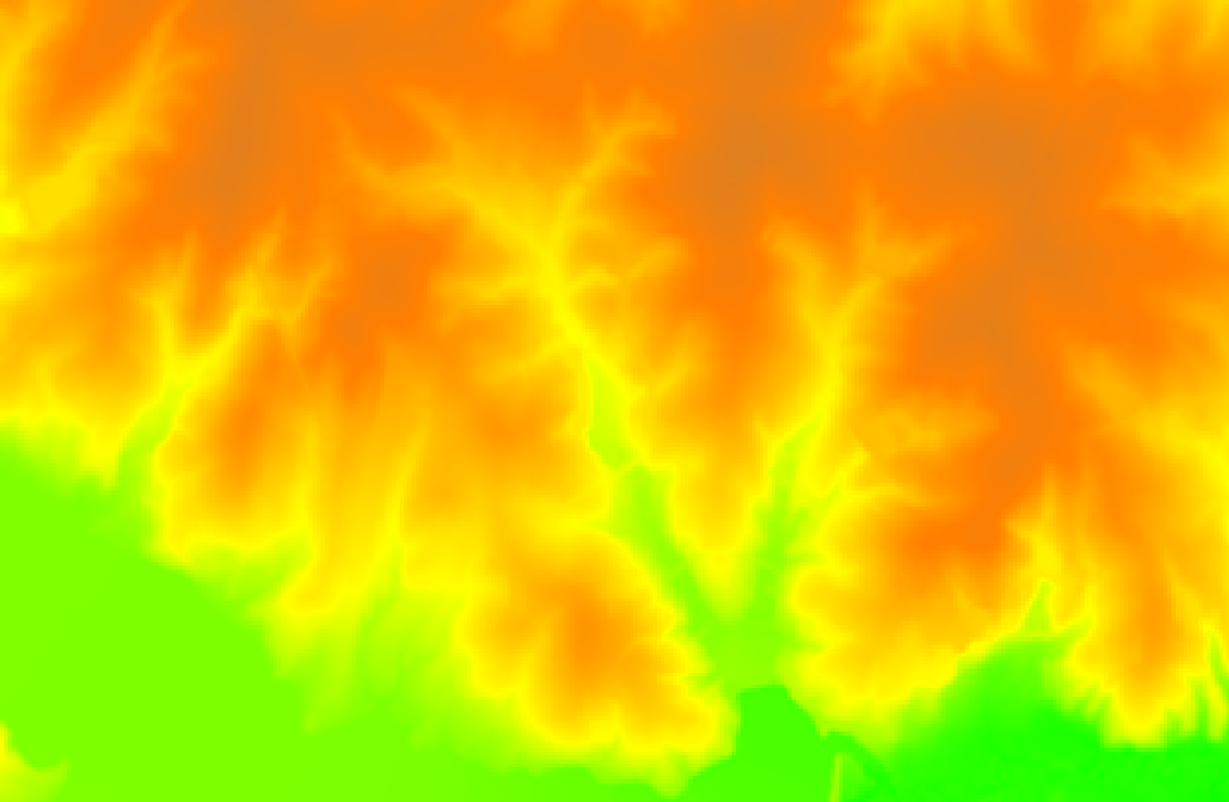
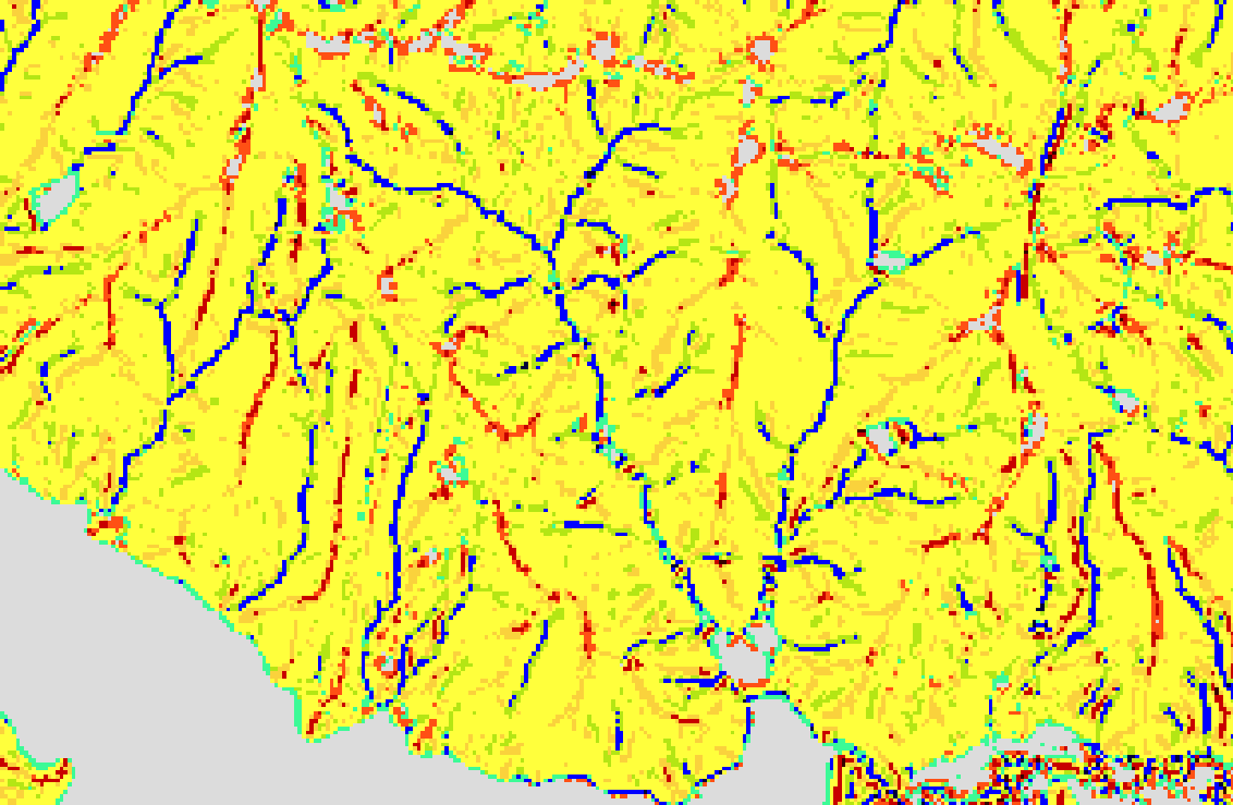
Elevation
🗺️ Elevation-Based Emoji Legend
This legend maps normalized elevation values to emojis using the get_elevation_theme() function:
| Normalized Elevation Range | Emoji | Description |
|---|---|---|
| 0.00 – 0.20 | 🌊 | Water or lowland |
| 0.20 – 0.40 | 🌾 | Agricultural plains |
| 0.40 – 0.60 | 🌲 | Forested hills |
| 0.60 – 0.80 | ⛰️ | Mountain slopes |
| 0.80 – 1.00 | 🏔️ | Alpine peaks / highlands |
Note: Elevation values are first normalized to the 0–1 range using the min and max of the dataset.
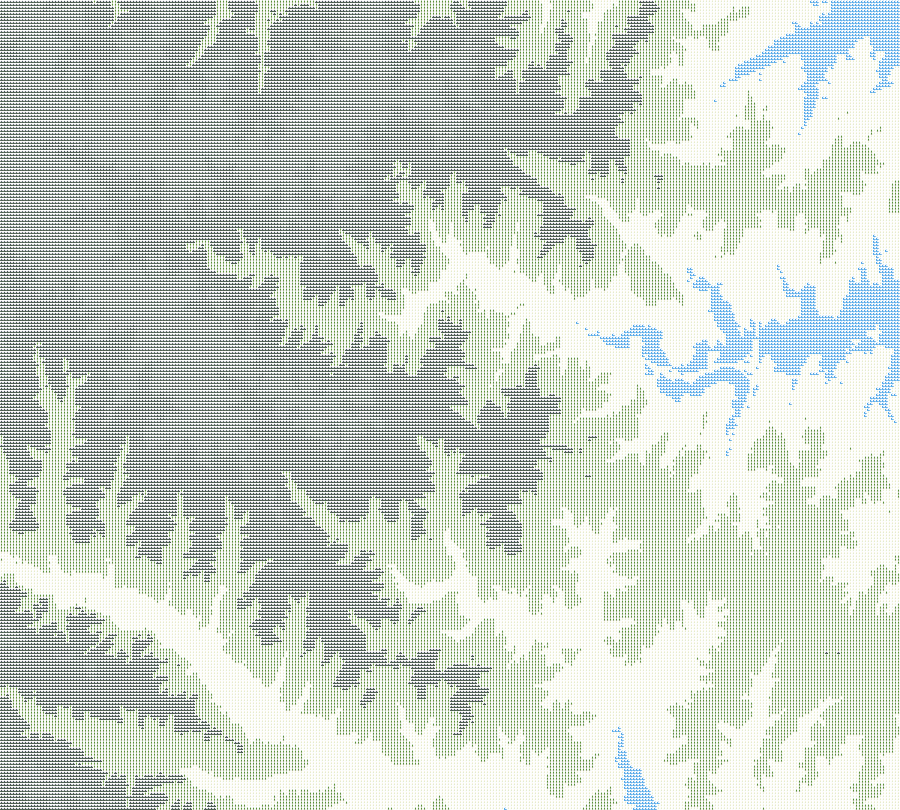
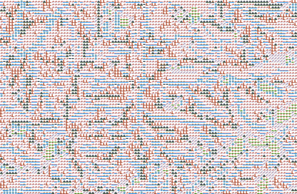
Landforms
Landform Emoji Legend
| ID | Landform | Emoji |
|---|---|---|
| 1 | Flat | ⛳️ |
| 2 | Peak | 🌋 |
| 3 | Ridge | 🏔️ |
| 4 | Shoulder | 🤷♀️ |
| 5 | Spur | 👢 |
| 6 | Slope | 📐 |
| 7 | Hollow | 🛶 |
| 8 | Footslope | 🧦 |
| 9 | Valley | 🚣 |
| 10 | Pit | 🕳️ |
Legend: Emojis visually represent geomorphometric landform classes identified in the dataset.
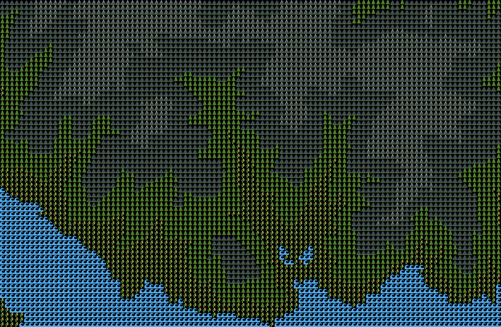
Landcover
NLCD Legend
| NLCD Class | Emoji | Description |
|---|---|---|
| Open Water | 💧 | Lakes, rivers |
| Developed, Open | 🏡 | Lawns, suburbs |
| Developed, Low | 🏘️ | Small residential |
| Developed, Medium | 🏢 | Urban, moderate density |
| Developed, High | 🌆 | Dense urban areas |
| Barren Land | 🪨 | Rock, sand |
| Deciduous Forest | 🍂 | Seasonal forests |
| Evergreen Forest | 🌲 | Conifer forests |
| Mixed Forest | 🌳 | Mixed canopy |
| Shrub/Scrub | 🌵 | Desert brush, scrub |
| Grassland/Herbaceous | 🌾 | Open grasslands |
| Pasture/Hay | 🐄 | Ag fields, hay |
| Cultivated Crops | 🌽 | Cropland |
| Woody Wetlands | 🪵💧 | Forested wetland |
| Emergent Wetlands | 🌾💧 | Marshes, swamp grass |
Note: These emojis are used for illustrative purposes in rendered image overlays or legends and may not be rendered in GRASS GUI.